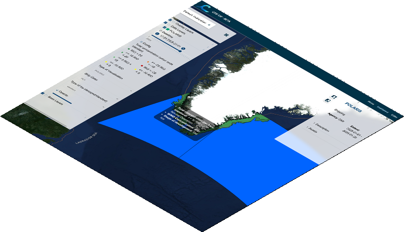
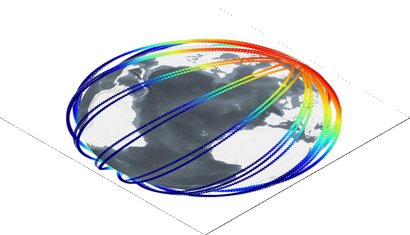
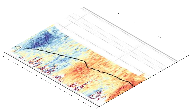
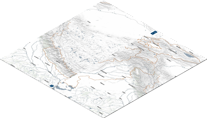
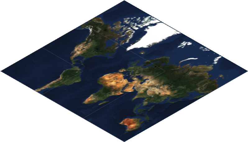
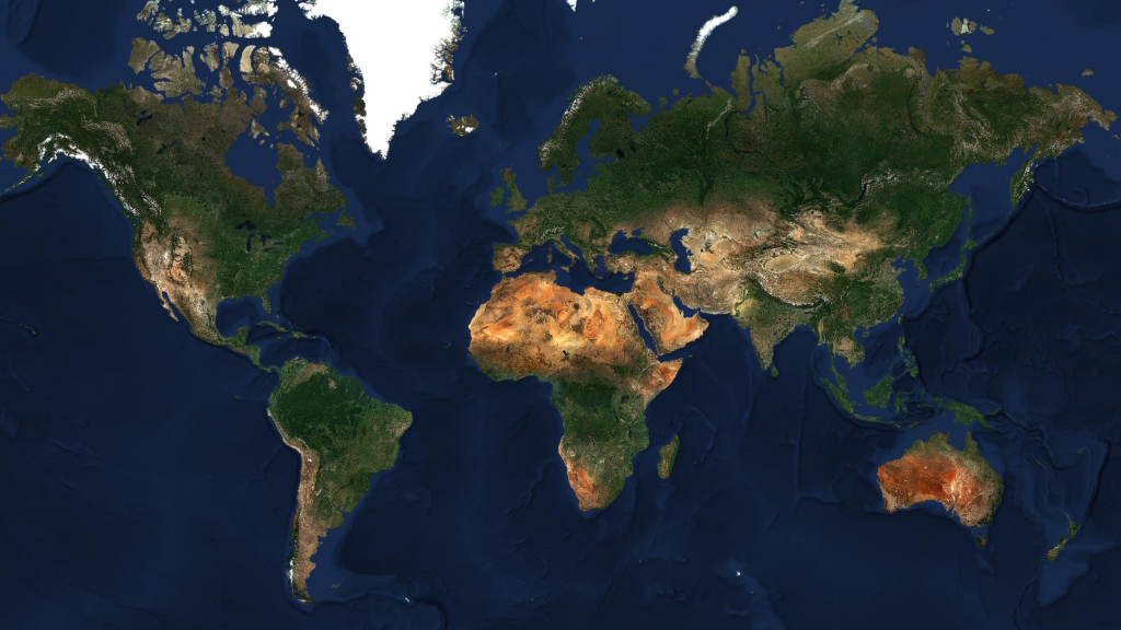
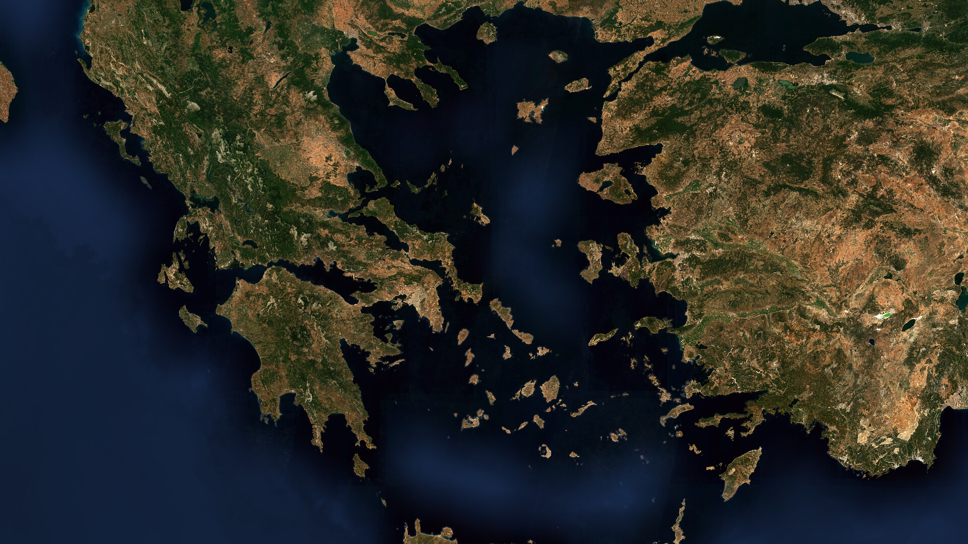
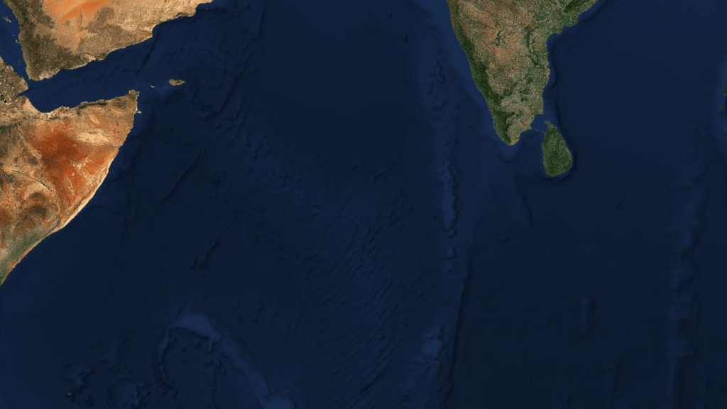
We have a new EOxCloudless release with more precise ecoregions and advanced ocean mosaicking. Check out the preview! Over the past few years, our engineering focus for EOxCloudless has been, among ...
For years, working with high-resolution datasets like Copernicus Sentinel-2 L2A required navigating a traditional, download-first pipeline. Users had to download massive, monolithic SAFE format ...
Welcome to the Living Planet Symposium 2025 in our hometown Vienna! In an effort to help meet the event's sustainability goals, we are refraining from distributing printed materials. Our handouts are ...
“The multispectral and elaborately post-processed satellite images of the Sentinel-2 mission from the ESA Copernicus programme gave us the extraordinary opportunity to generate an absolutely cloud-free and high-resolution globe projection for the biggest attraction at the Fraport Visitor Center: The Globe. Based on real data, this interactive exhibit mesmerizes all visitors with its texture and size.”
“EOxHub workspace is an amazing platform to teach data analysis on!”
“Sentinel-2 cloudless makes a great background map in our Plane Finder app and EOX kindly supported us with our specific needs!”
“EOX kindly supported us in our data processing needs and the preparation of various datasets for use in our simulation platform!”
Björn VietenSenior Consultant Airside Systems - Fraport AG
Eero RinneThe University Centre in Svalbard
Lee ArmstrongCTO, Plane Finder
Simon VescioTitan IM
Interested in applying EO data to your use case?
Let's build cloud-native systems, interactive maps, or customized Sentinel-2 data layers together. Reach out to discuss your project requirements.