EOX AgriApp satellite parcel monitoring overview

EOX for Agriculture

Flexible dashboard services and continuous remote sensing analysis for agricultural parcels and area monitoring.

Skip to content

EOX for Agriculture

Flexible dashboard services and continuous remote sensing analysis for agricultural parcels and area monitoring.

EOX AgriApp satellite parcel monitoring overview

About the EOX AgriApp ​

Flexible Dashboard Service ​

The EOX AgriApp is a flexible dashboard service for continuous remote sensing analysis of agricultural parcels or, more generally, any monitoring areas of interest. It visually presents satellite information such as vegetation and soil profiles interactively linked to image time series down to the parcel level—even allowing for comparison between parcels.
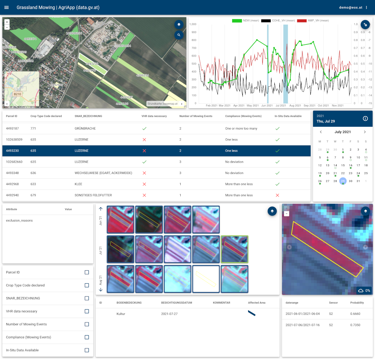
The EOX AgriApp showing satellite and value-added information in map, chart, and tabular widgets

Value-added Information ​

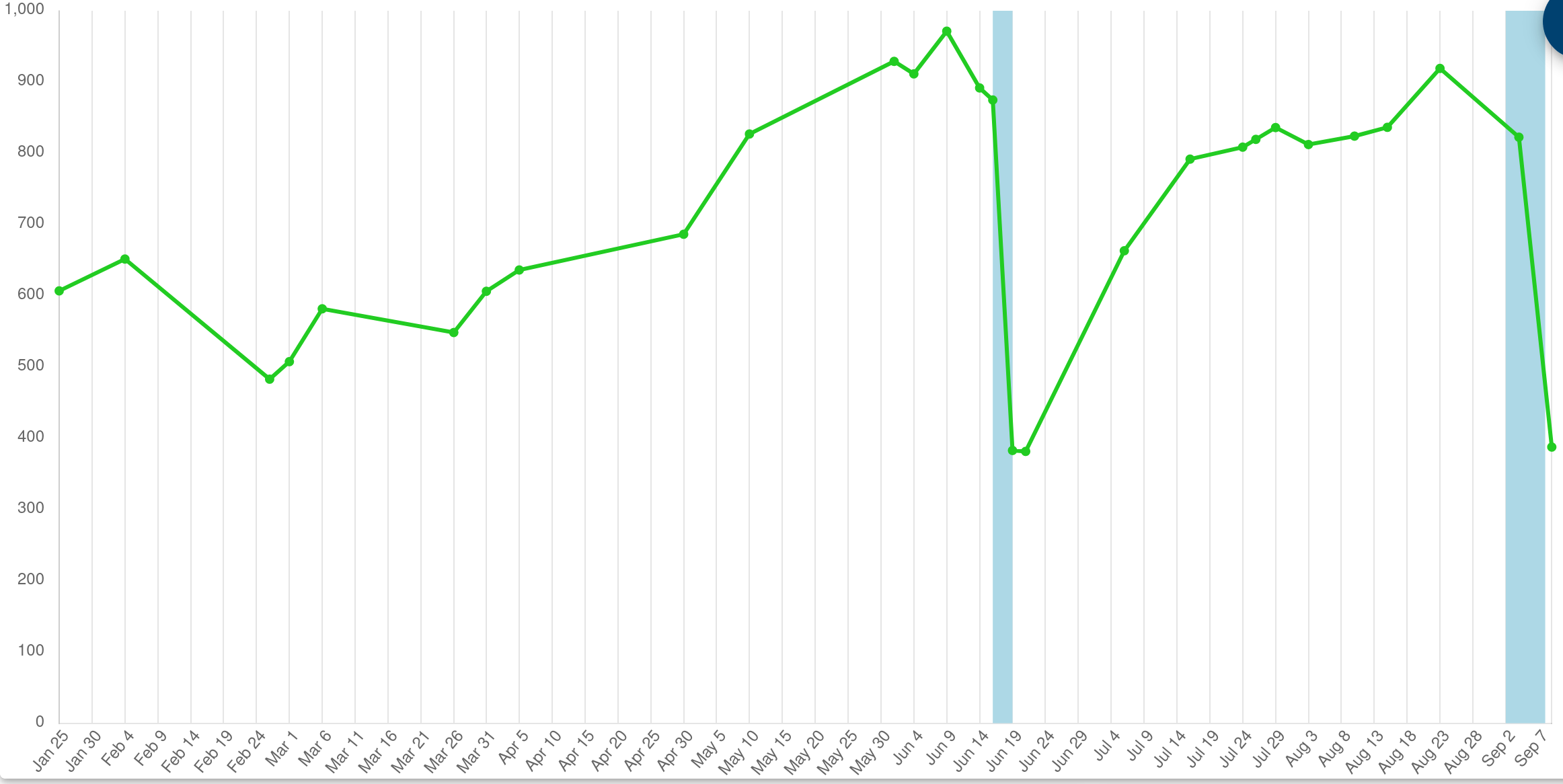
Value-added derived information such as machine learning- or threshold-based markers (crop type, harvest events, mowing events, vegetation cover changes, …) are available as chart annotations and thematic map layers. A compliance rule engine evaluates specific parcel-level requirements and provides customised thematic map visualisations.

Value-added markers such as mowing events and crop type annotations

Interactive Reports ​

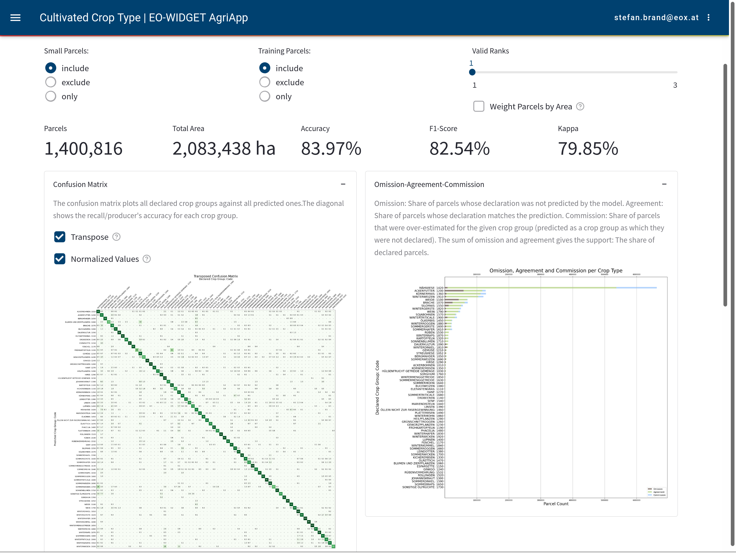
The cloud-based service is rounded off by a high-performance full-dataset search engine with dynamic filter combinations. A workspace with various interactive charts allows for detailed analysis of machine learning result and compliance rule engine outcomes. For example, the EOX AgriApp offers a confusion matrix and accuracy measures for crop type classification.

Interactive reports and workspace charts in EOX AgriApp

Areas of Use ​

Applications for the EOX AgriApp include—but are not restricted to—

  • Common Agricultural Policy implementation
  • drought and irrigation monitoring
  • CO2 flux visualisation and quantification
  • nature capital and biodiversity monitoring.

In the context of the CAP Area Monitoring System the EOX AgriApp has successfully been in operative use within the Austrian and Irish Paying Agencies since the beginning of 2023, serving near real-time insights for millions of parcels.

Agricultural parcels monitored from satellite imagery

Learn more ​

A blog post series introduces the AgriApp and its usage in the context of the Common Agricultural Policy, and you can also try our live demo instance.

Customers & Partners ​

Contact ​

Do you have any questions? Let's get in touch with Stefan Brand!

Interested in applying EO data to your agricultural use case?

Contact Us