Explore GeoTIFFs like Landsat 8 scenes with COG-Explorer in the browser
In our previous blog post about visualizing raster data we demonstrated a use case for client side browser based visualization of GeoTIFFs using modern web techniques and the geotiff.js (opens new window) library. The application uses GeoTIFFs derived from Sentinel-2 data and visualizes either single bands or calculates indices using applied parametrized color scales.
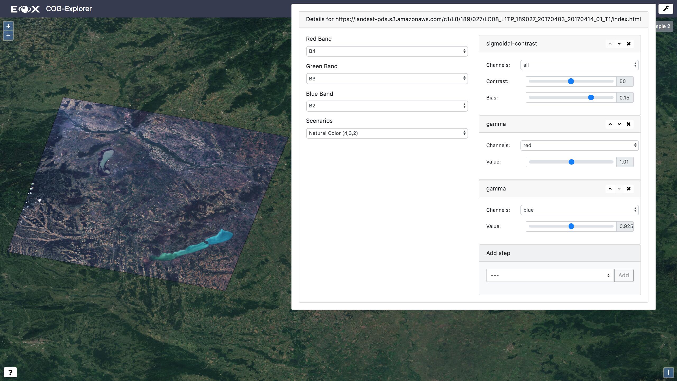
We now like to present a different application of client side GeoTIFF usage, a small application we called COG-Explorer (opens new window). This demonstrator application is built to explore the technical feasibility of browser based exploitation of high-resolution earth observation imagery in Cloud Optimized GeoTIFF (opens new window) format. The application is currently tailored to use data from the Amazon S3 Landsat 8 repository (since it provides a vast amount of datasets in the COG format), but also works with any other GeoTIFF image on the web.
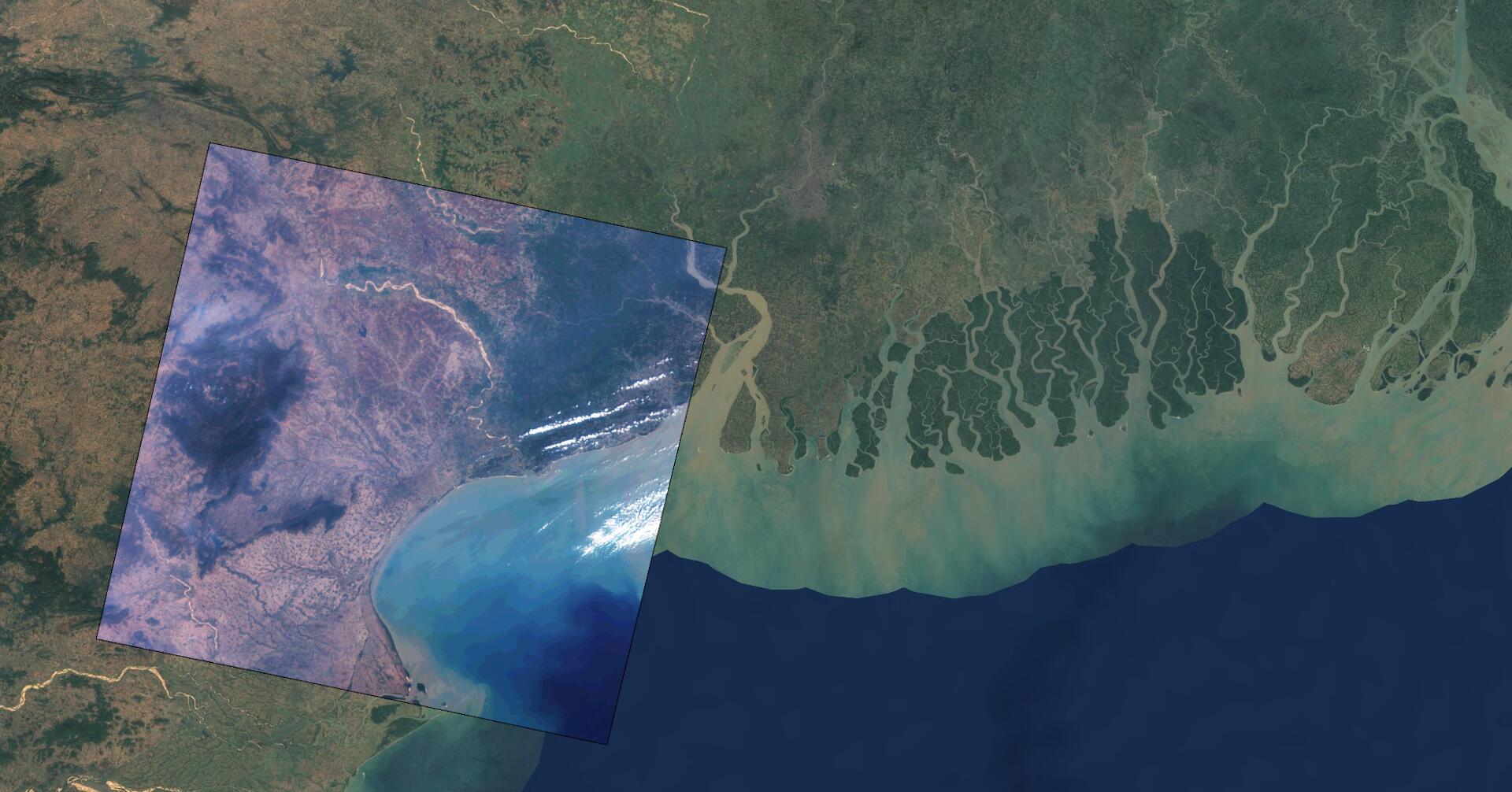
When a scene is selected, it is shown on the map with certain image processing applied (contrast adaption is necessary, as the Landsat 8 data is not visually representable by default).
We are convinced that this approach has huge benefits in the exploitation of earth observation data in contrast to traditional server side rendering, so stay tuned for further developments!
Click on the image below to try out COG-Explorer!