EOxCloudless Acquisition year 2025
We have a new EOxCloudless release with more precise ecoregions and advanced ocean mosaicking. Check out the preview (opens new window)!
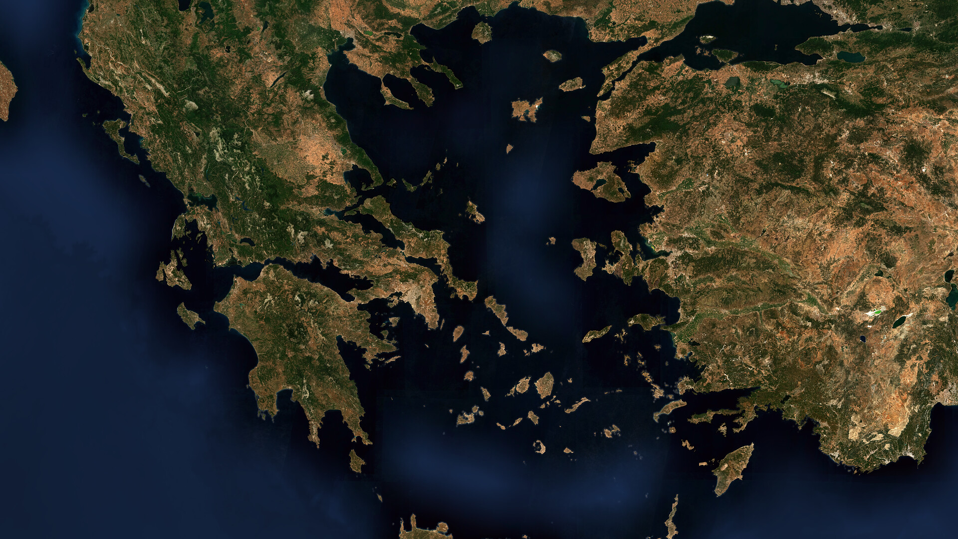
Over the past few years, our engineering focus for EOxCloudless (opens new window) has been, among others, on optimizing the BRDF corrections to eliminate equatorial striping and optimizing performance of the whole process chain. Having locked down radiometric quality and computational scale, the newest EOxCloudless dataset takes the next logical step: perfecting spatiotemporal context.
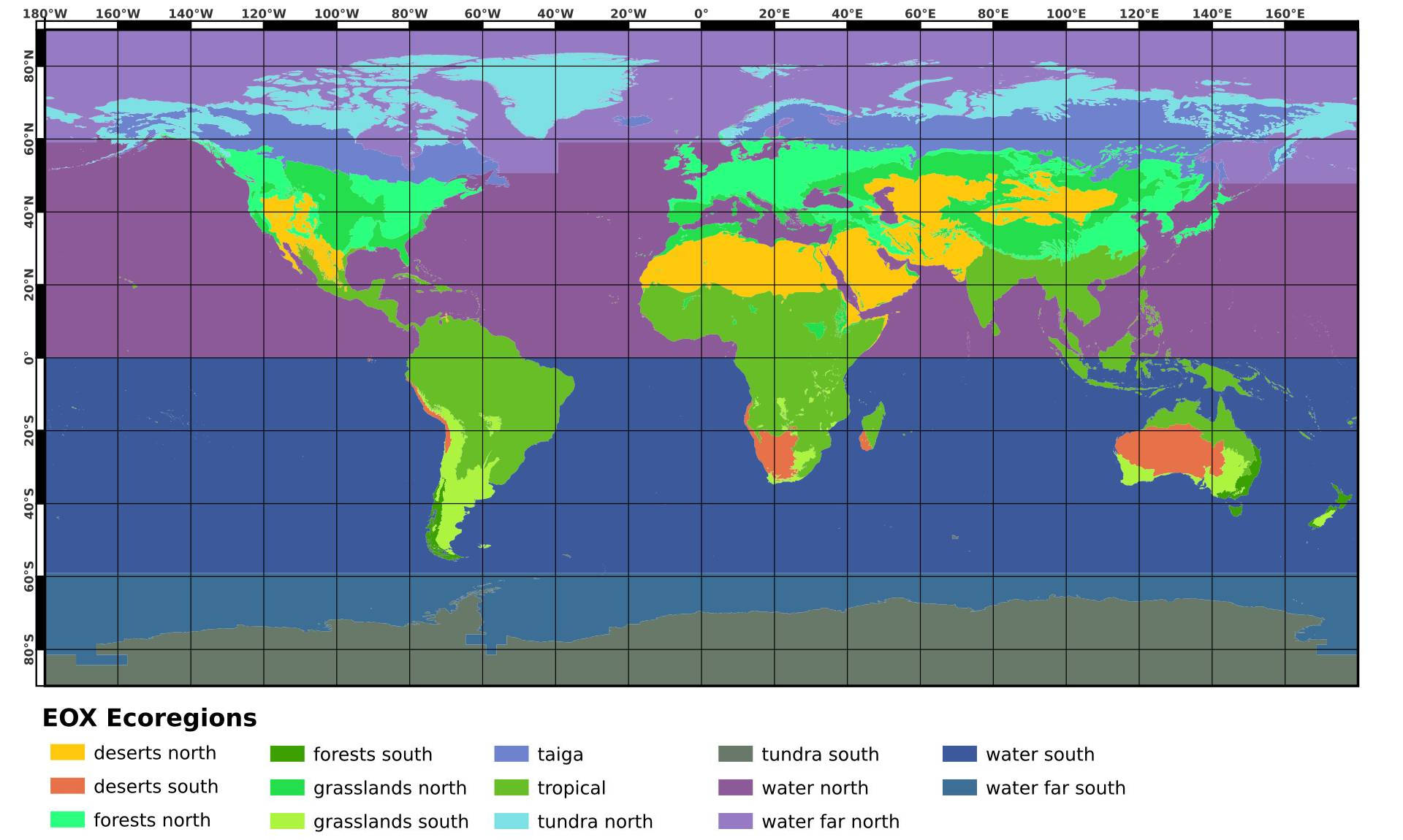
We are abandoning our previous and partly arbitrary processing zones. Instead, we're letting the Earth's actual biological and physical realities dictate our algorithmic parameters, introducing precision ecoregion targeting and an entirely separate pipeline for ocean mosaicking to deliver our most accurate global map yet.
# Approximating Climate Zones
A high-quality mosaic requires scenes with minimal cloud cover, taken as close to summer as possible, as a higher sun zenith creates smaller shadows. While compromises are inevitable, optimizing this time range is crucial. Fewer clouds mean fewer source products to read, which drastically improves processing performance. Additionally, deriving the mosaic from fewer scenes prevents the final map from looking patchy.
To assign extraction parameters, we divide the globe into "processing regions" (not to be confused with "process zones," which manage internal data chunking). Historically, these processing regions were hand-drawn or based on political borders, leading to massive generalizations. Australia, for instance, was treated as a single region despite containing desert, tropical, and temperate climates.
Climate zones indirectly control our key variables: temperature relates to the sun angle, and precipitation drives cloud cover. Because climate fundamentally determines biomes, we integrated the RESOLVE Ecoregions and Biomes (opens new window) dataset to accurately fine-tune our settings. Rather than using all 846 terrestrial ecoregions independently, we combine them into larger, ecologically cohesive processing regions. By letting nature's true boundaries define our temporal search windows, we minimize visual patchiness, maximize processing speed, and deliver our most balanced mosaic yet.
# Ocean Integration
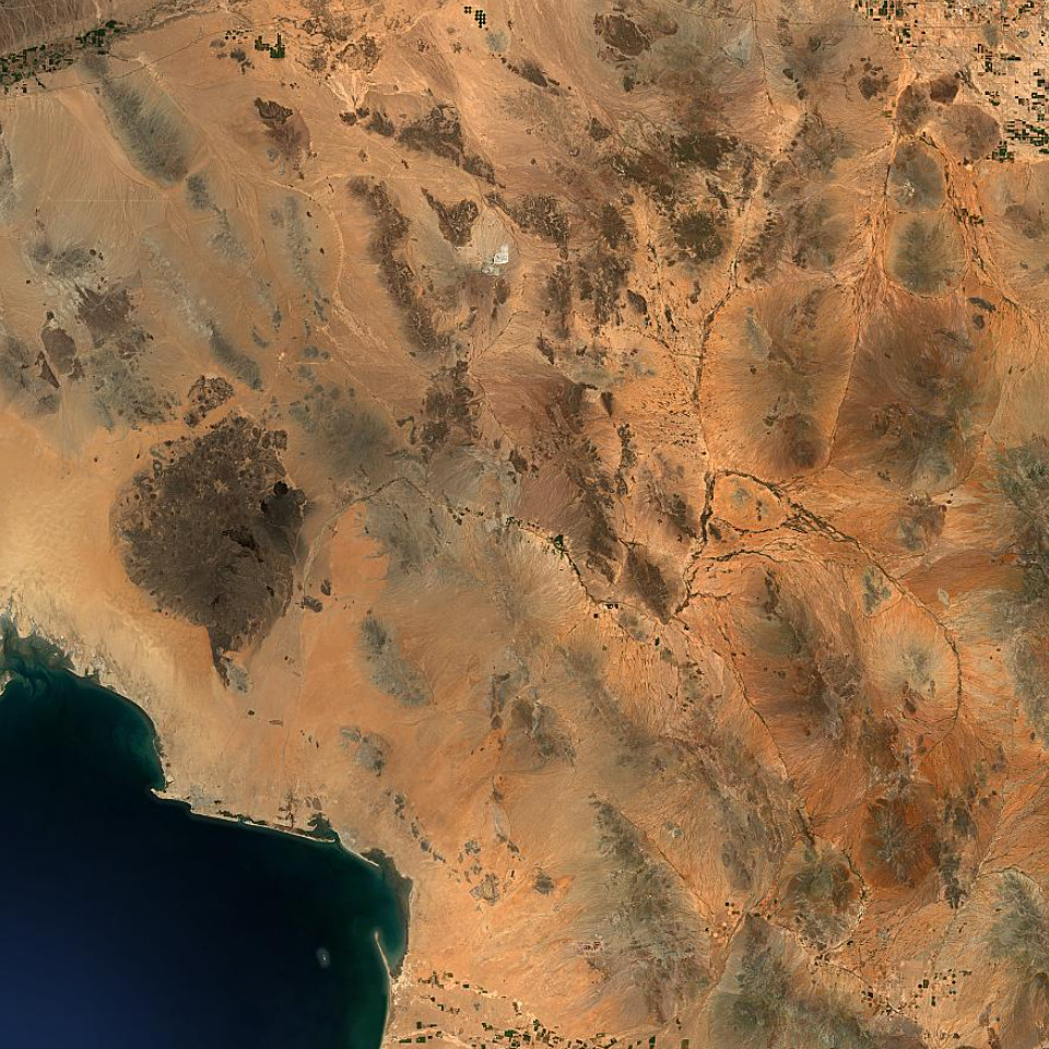
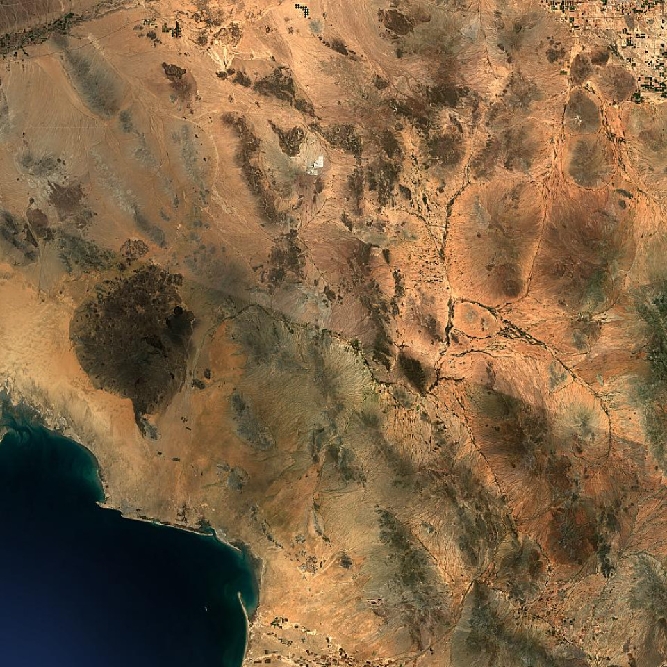
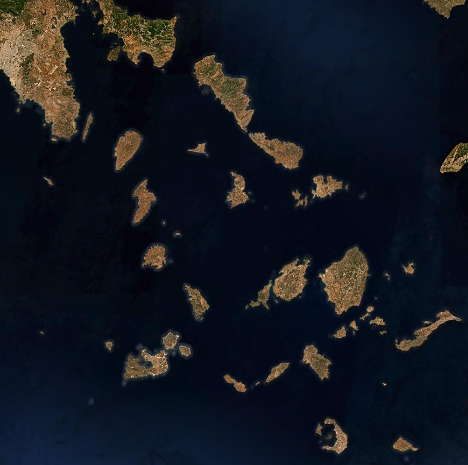
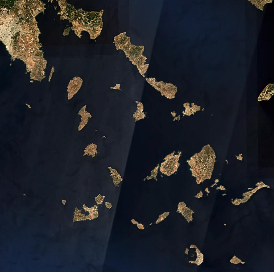
Processing large water bodies alongside solid terrain requires compromises. For instance, to mitigate the blinding "mirror effect" of summer sun glint over the sea, we previously had to use summer-month time ranges because they yielded better results with land masses.
We now have integrated the ocean polygons into the new biome-based processing regions. This allows us to get the best of the two worlds - specific parameters for ocean and land masses. To be able to further refine the settings, we also split up the oceans in "latitudinal" subregions.
# Building on Robust Foundations
While our new biome-based regions and latitudinal ocean splits represent a major leap in our spatial logic, the robust core of the EOxCloudless processing chain remains firmly intact. We continue to use our dynamic, region-and-pixel-classified BRDF (Bidirectional Reflectance Distribution Function) correction model, which drastically reduces orbital striping over challenging terrains like the Amazon and the Sahara.
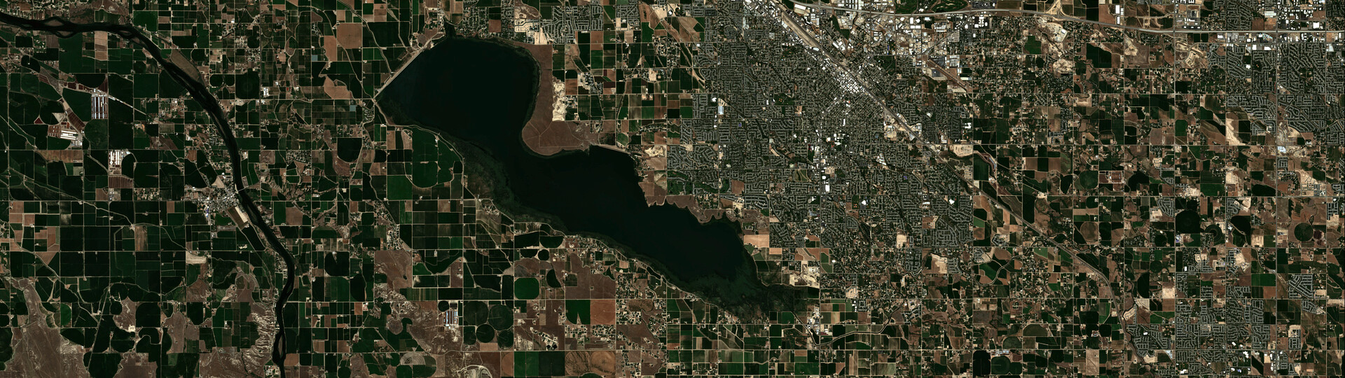
We have also retained the Contrast Limited Adaptive Histogram Equalization (CLAHE) post-processing step introduced in previous releases, ensuring maintaining maximum structural sharpness and contrast in dense urban areas. Crucially, our delivery architecture remains unchanged and highly scalable.
# Usage and Applications
Whether you are running complex ML pipelines using our 16-bit Exploitation Ready data via STACTA TileDirectories, or embedding our Viewing Ready single-file formats (GeoPackage and MapCache SQLite) into offline applications, the new dataset integrates seamlessly into standard GDAL and QGIS (opens new window) workflows without any disruptions.
Also, EOxCloudless is being used in agriculture monitoring (opens new window), games and simulators (opens new window), urban planning (opens new window) and other industries.
# Explore the Data
The EOxCloudless Acquisition year 2025 dataset is now available. We encourage you to head over to our product page (opens new window) to discover the improvements firsthand. Whether you are interested in commercial licensing, require off-the-shelf multispectral data, or want to discuss bespoke processing inquiries, you will find all the necessary documentation (opens new window), data samples (opens new window), and contact information (opens new window) directly on the new website (opens new window)!
# Contact Information
Do you have any questions? Please contact Karolína Lehotská at karolina.lehotska@eox.at for sales or Joachim Ungar at joachim.ungar@eox.at for any technical matters.
# Want to Play a Game?
EO-Guesser (opens new window) is here! Are a fan of satellite imagery or the world from space? We are running a neat game and at EOX we have been playing it with great enthusiasm for some time now.
If you want to try your luck or want to put your Earth Observation knowledge to test feel free to try our EO-Guesser (opens new window). Being zoomed in on a random place on Earth just able to see the satellite map, can you guess where you are? How conversant are you with planet earth? Enjoy the game!
# Images Source
EOxCloudless https://cloudless.eox.at (opens new window) by EOX IT Services GmbH (opens new window) (Contains modified Copernicus Sentinel data 2024 & 2025)
Karolína Lehotská, EOX IT Services GmbH Email: karolina.lehotska@eox.at
Petr Ševčík, EOX IT Services GmbH Email: petr.sevcik@eox.at
Joachim Ungar, EOX IT Services GmbH Email: joachim.ungar@eox.at